|
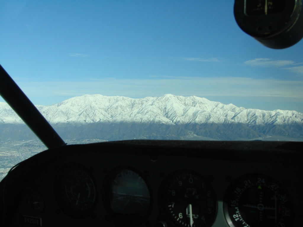
Clearly defined snow line.
Mt. Baldy on left side of picture, Cajon pass on right side. |
 |
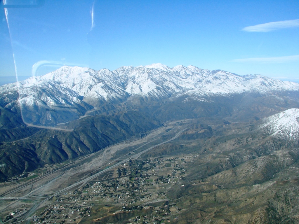
Cajon Pass where the 15/215
splits. |
 |
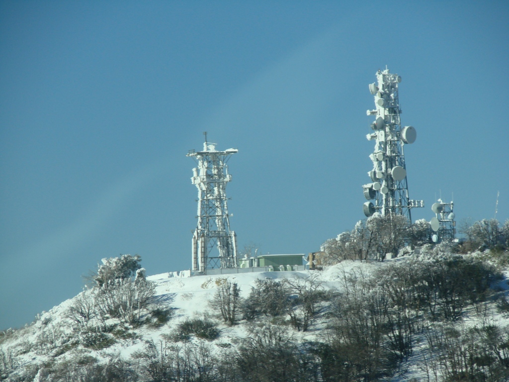
Communication towers above
the Cajon Pass. |
 |
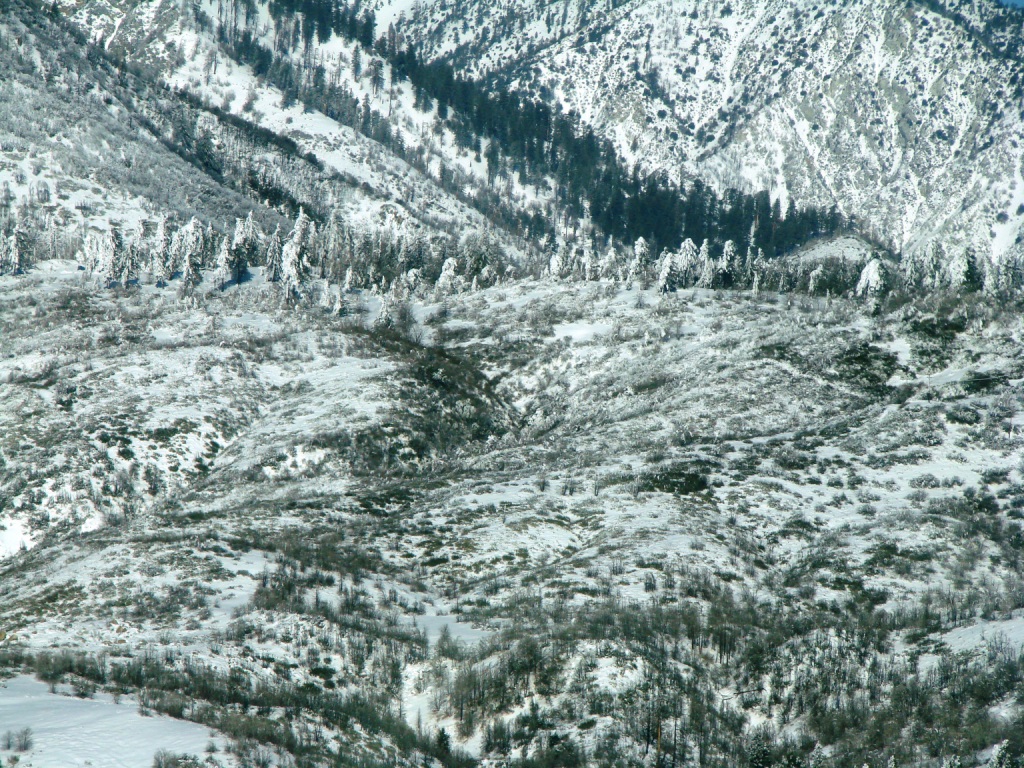
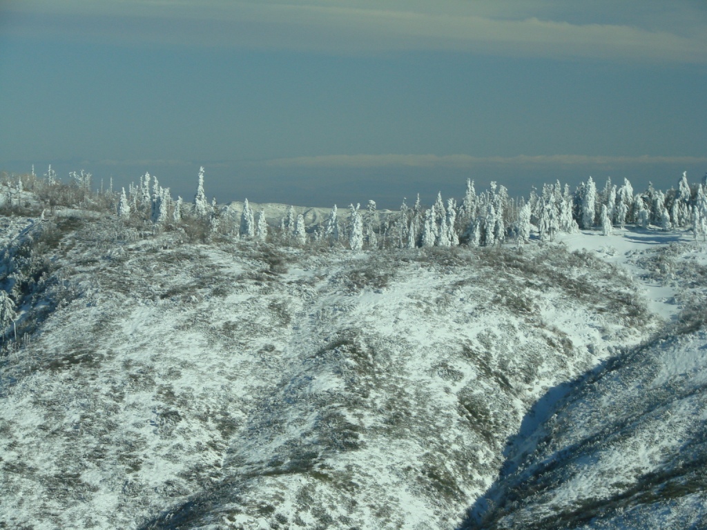
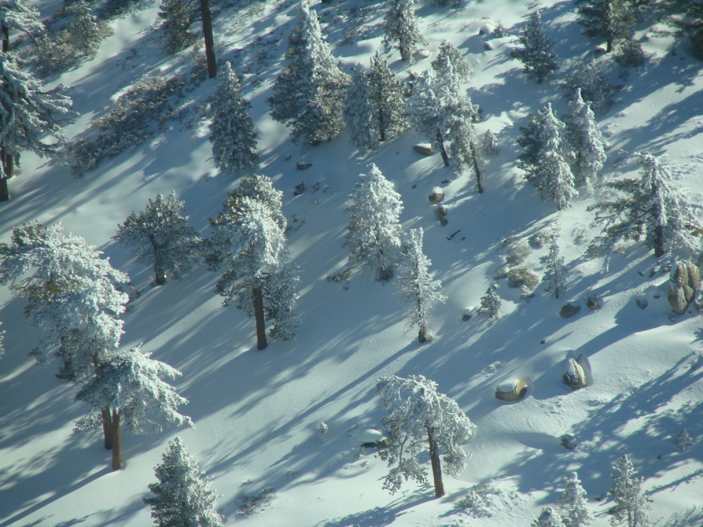
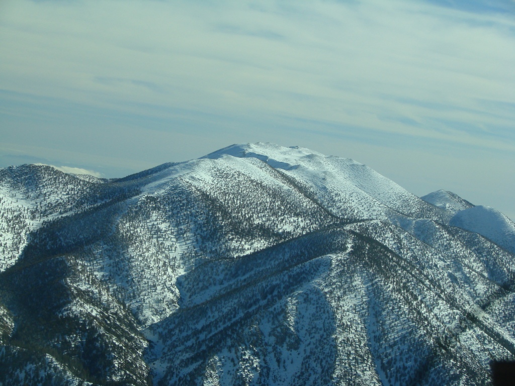
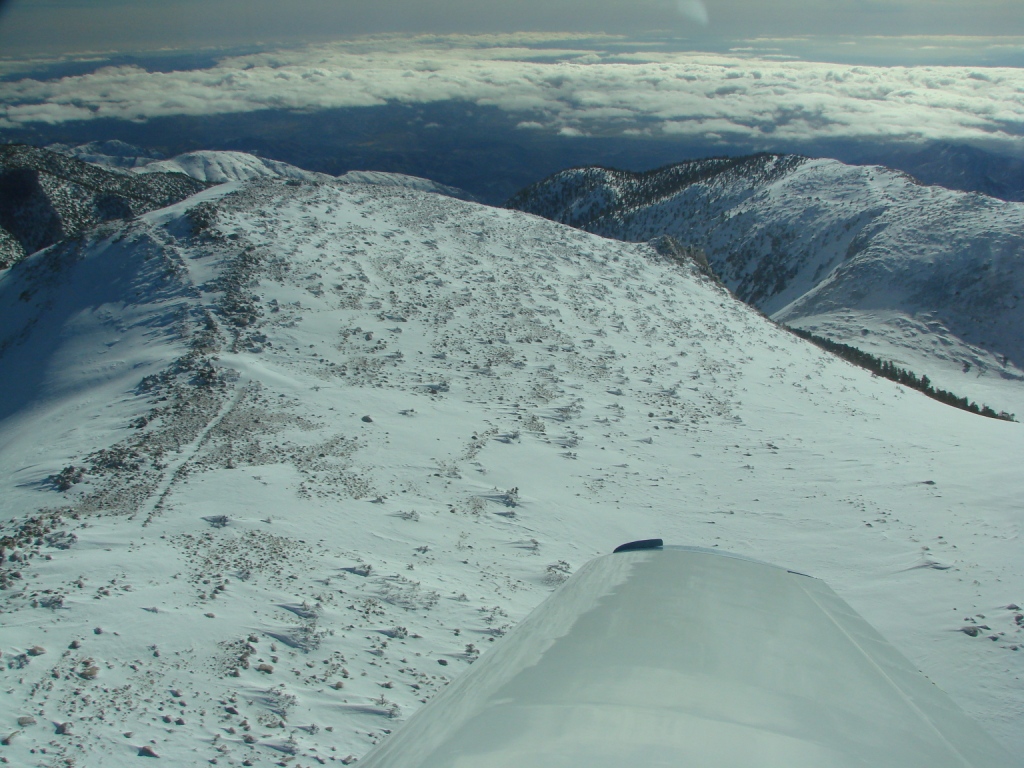
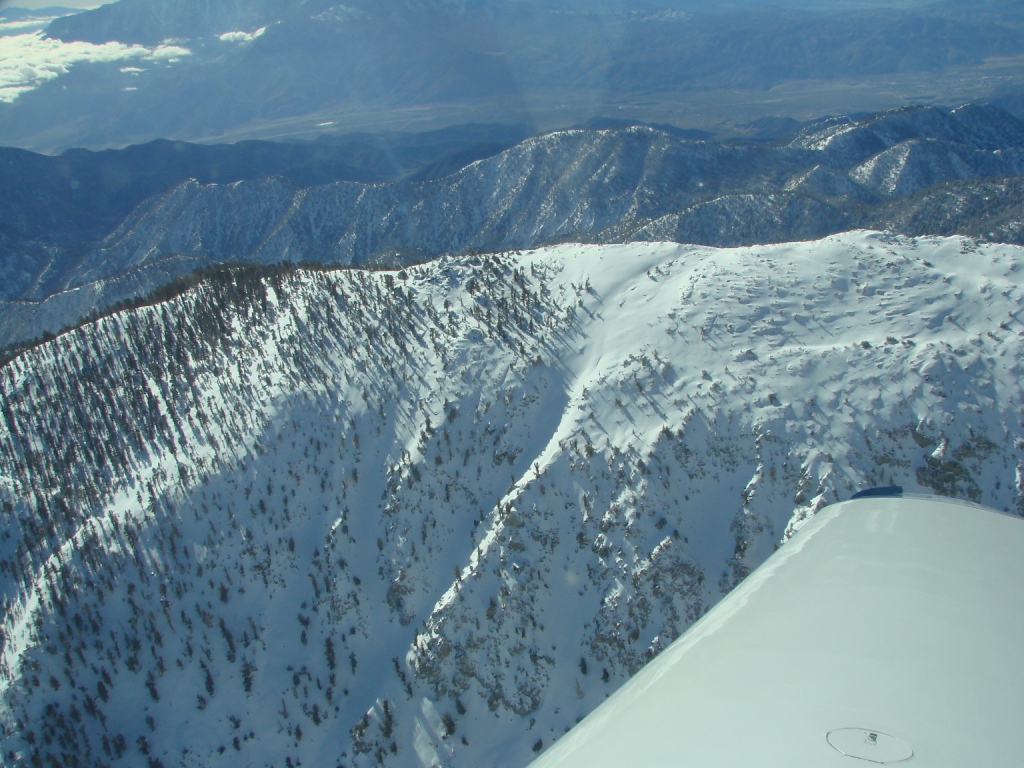
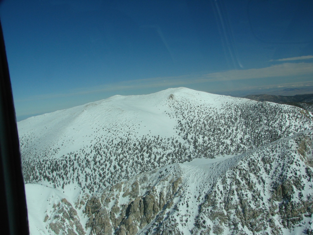
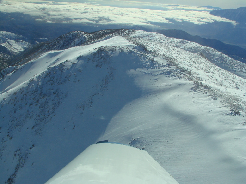
Tree line covered with snow
after a two day storm. |
 |
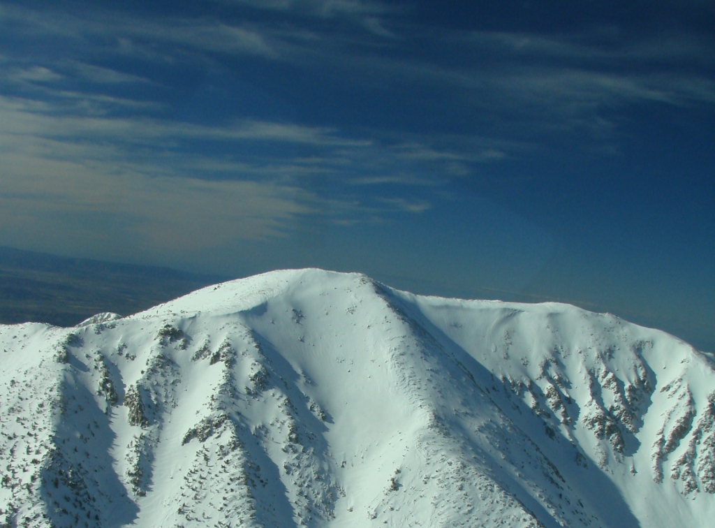
Tree line covered with snow
after a two day storm. |
 |
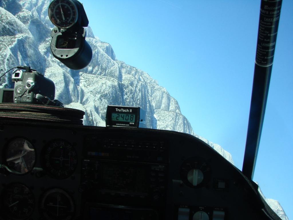
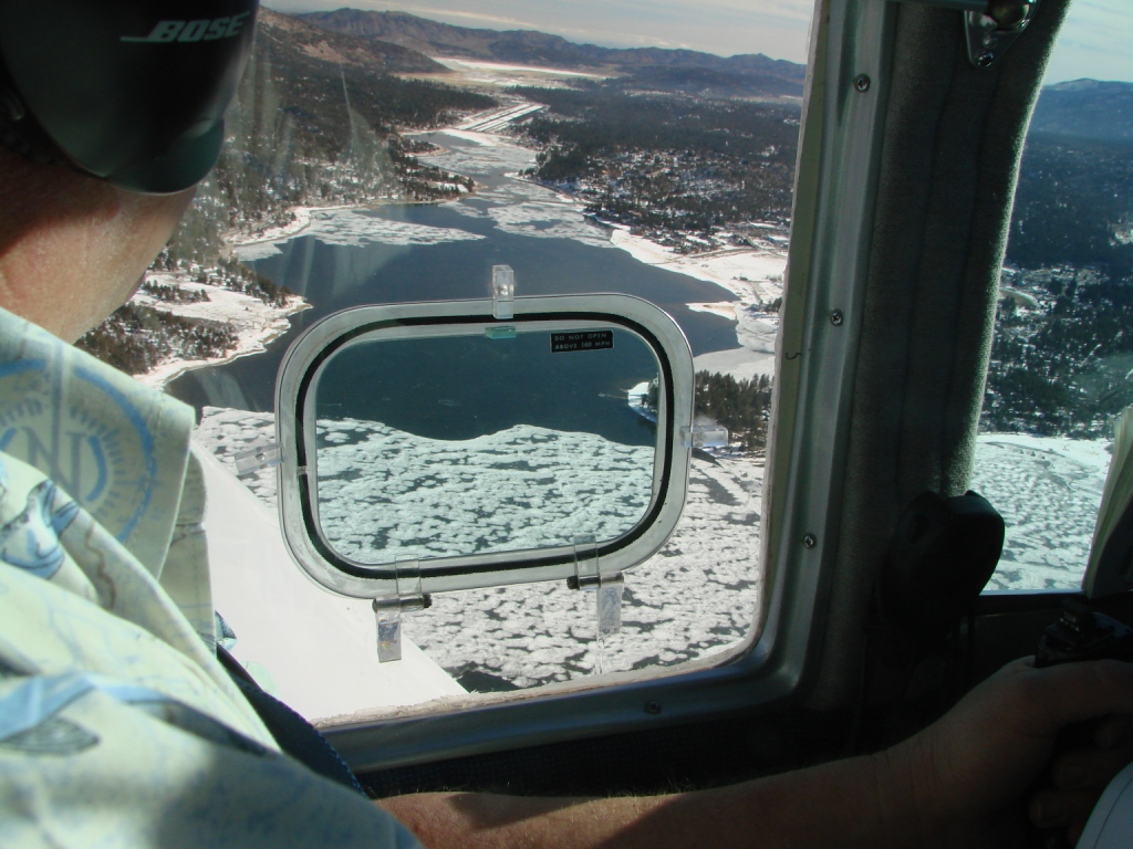
Shooting video. |
 |
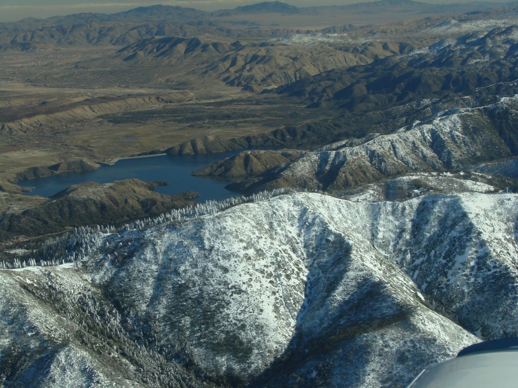
Siverwood lake beyond the
ridge line. |
 |
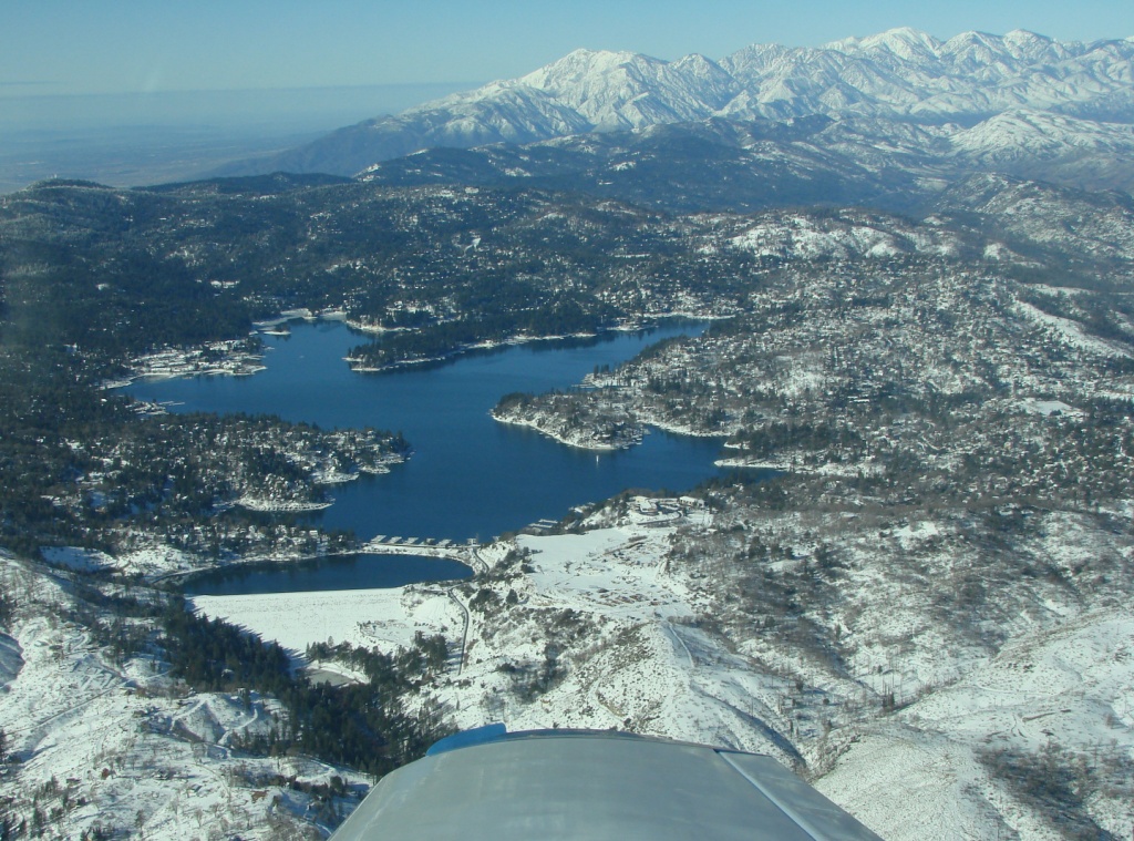
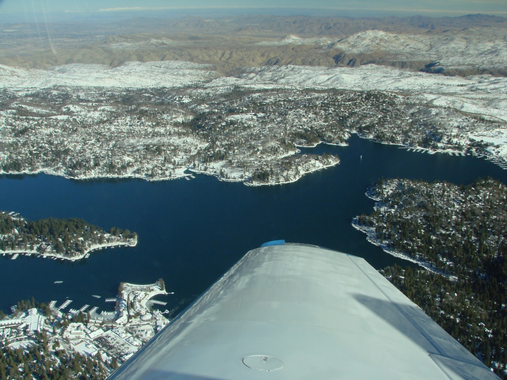
Lake Arrowhead looking west. |
 |
Lake Arrowhead looking north
west. |
 |
Lake Arrowhead looking
north. |
 |
Cabins at Lake Arrowhead. |
 |
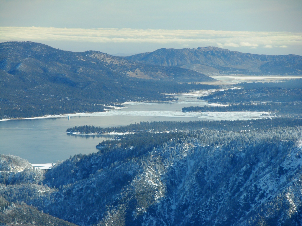
Big Bear lake looking east.
Airport is visible at the far end of the lake. |
 |
Big Bear lake and airport. |
 |
|
 |
Mt. San Gorgonio Elevation
11,499 |
 |
Mt. San Gorgonio elevation
11,499. Note the trail to the summit. |
 |
|
 |
|
 |
Mt. San Gorgonio Elevation
11,499 |
 |
Mt. San Gorgonio Elevation
11,499 |
 |
Inland Empire and Lake
Mathews beyond. |
 |
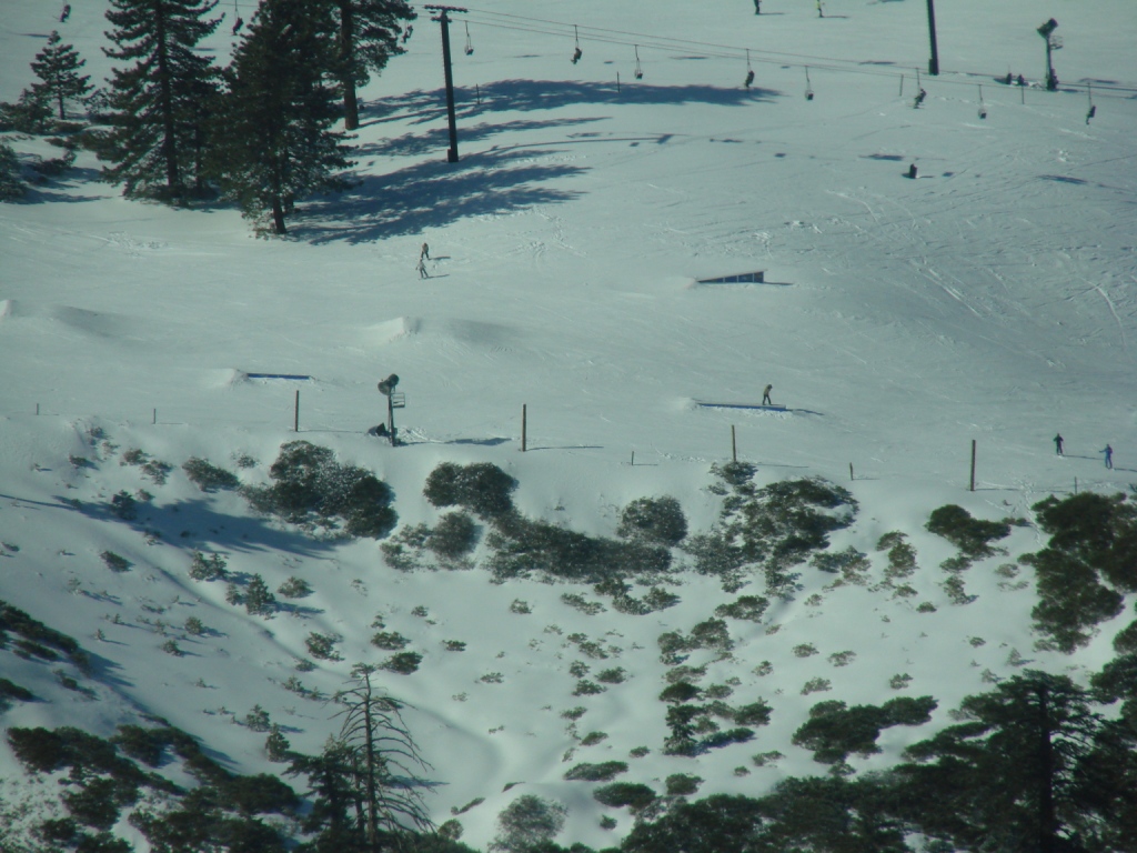
Skiers |
 |
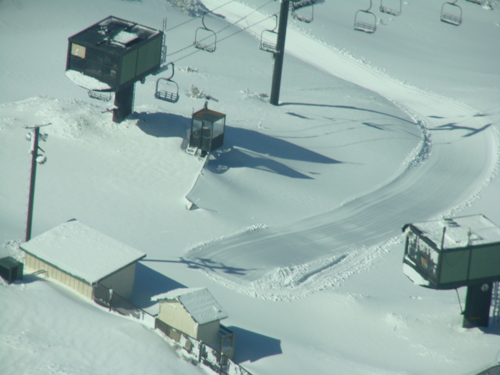
Ski lift |